
FACTS ABOUT UKRAINE
Geography
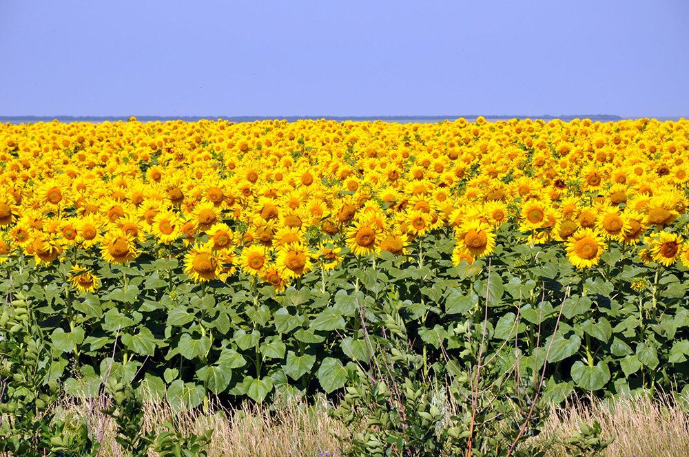
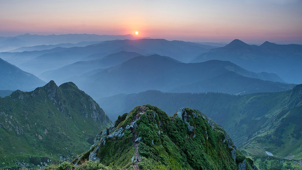
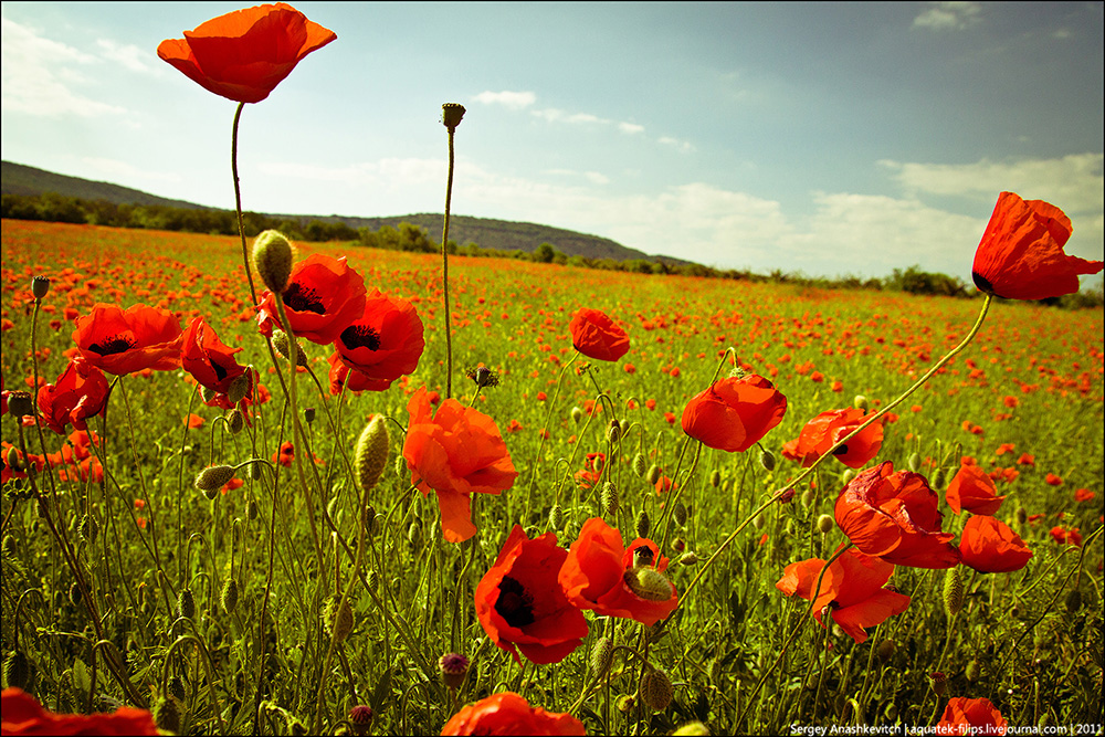
At 603,628 square kilometres (233,062 sq mi) and with a coastline of 2,782 kilometres (1,729 mi), Ukraine is the world's 46th-largest country (after South Sudan, before Madagascar). It is the largest wholly European country and the second largest country in Europe (after the European part of Russia, before metropolitan France). It lies between latitudes 44° and 53° N, and longitudes 22° and 41° E. The landscape of Ukraine consists mostly of fertile plains (or steppes) and plateaus, crossed by rivers such as the Dnieper (Dnipro), Seversky Donets, Dniester and the Southern Buh as they flow south into the Black Sea and the smaller Sea of Azov. To the southwest, the delta of the Danube forms the border with Romania. Its various regions have diverse geographic features ranging from the highlands to the lowlands. The country's only mountains are the Carpathian Mountains in the west, of which the highest is the Hora Hoverla at 2,061 metres (6,762 ft), and the Crimean Mountains on Crimea, in the extreme south along the coast. However Ukraine also has a number of highland regions such as the Volyn-Podillia Upland (in the west) and the Near-Dnipro Upland (on the right bank of Dnieper); to the east there are the south-western spurs of the Central Russian Uplands over which runs the border with Russian Federation. Near the Sea of Azov can be found the Donets Ridge and the Near Azov Upland. The snow melt from the mountains feeds the rivers, and natural changes in altitude form a sudden drop in elevation and create many opportunities to form waterfalls.